“As a project manager, I enjoy working with clients and our team members to develop programs and projects from the problems and challenges that they face.”
Matt Schrader
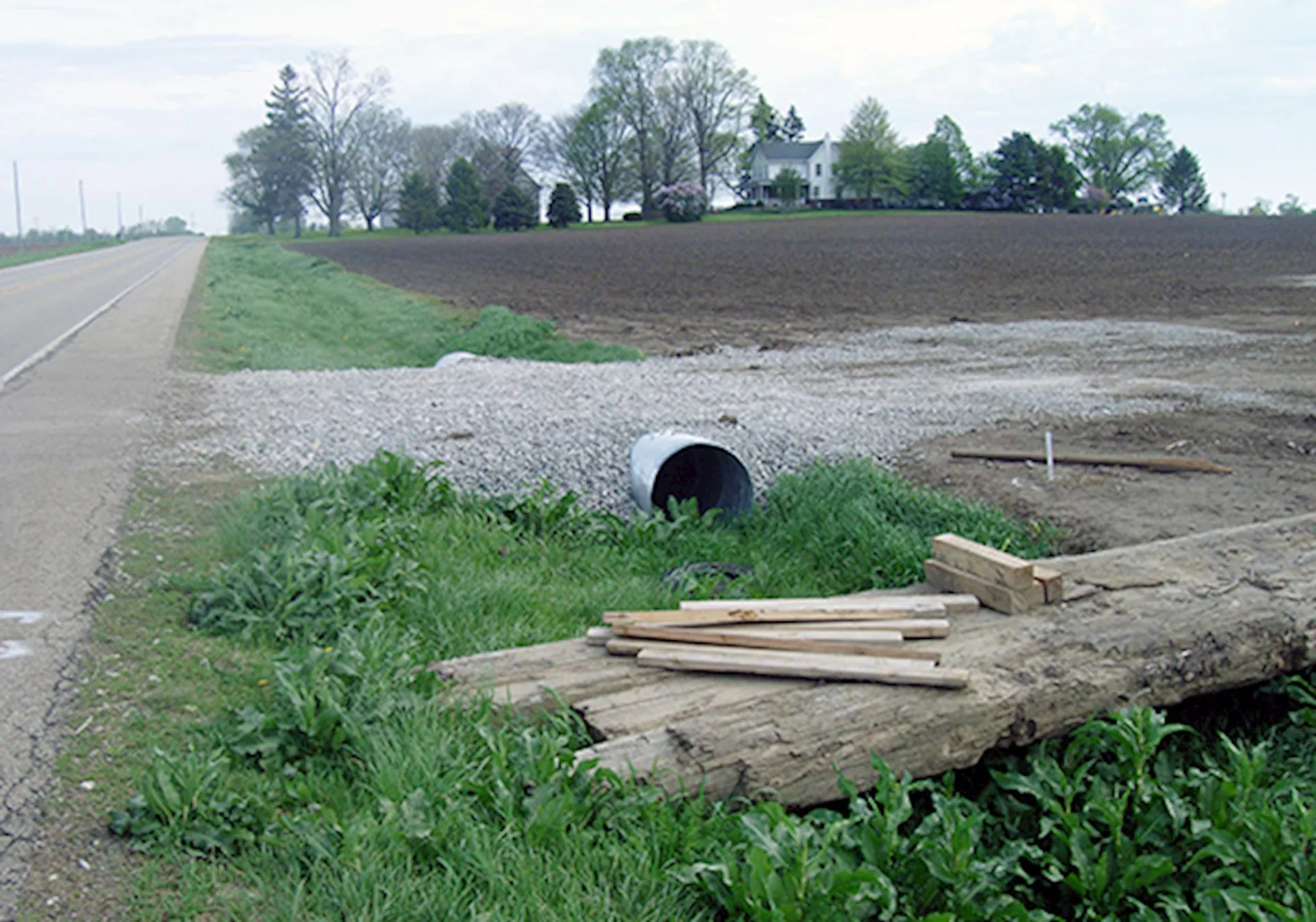
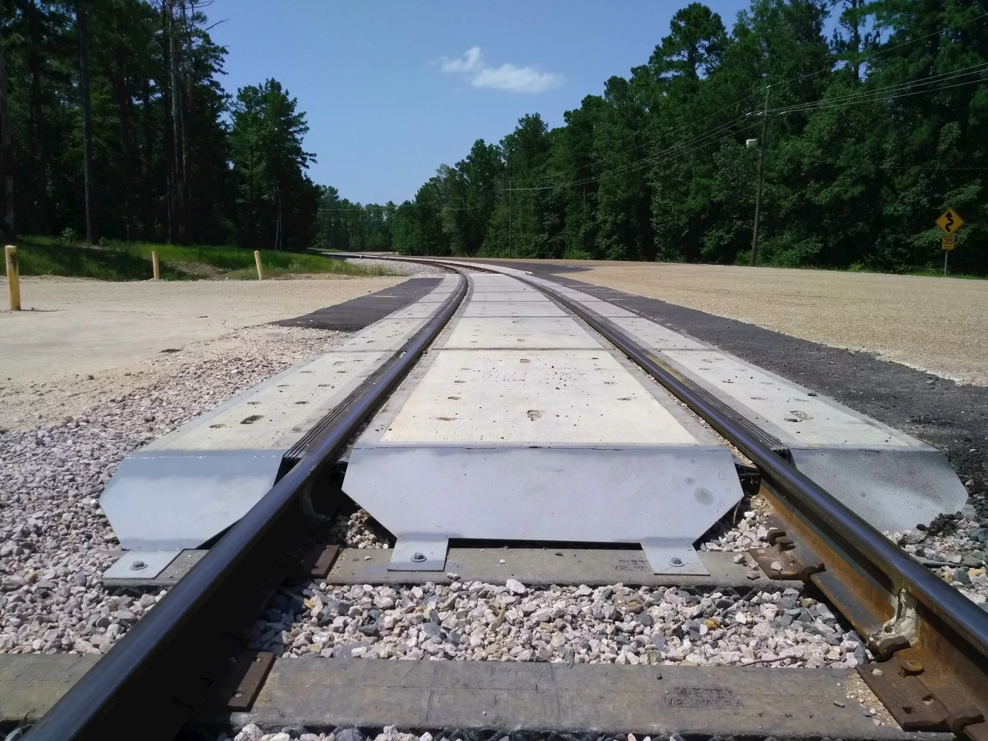
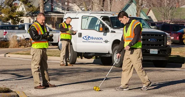
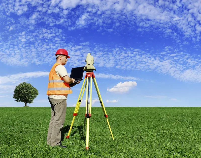
Surveying is an essential first step for many projects. Our experienced surveyors use current technology, such as robotic total stations, drones, 3D laser scanning and virtual reference station-enabled global positioning technologies, allowing us to communicate with you in real time between field and office as we collect information critical to your planning. Our surveying team holds certifications including training regarding Occupational Safety and Health Administration Title 29 of the Code of Federal Regulations (CFR) Standard 1910.120: Hazardous Waste Operations and Emergency Response; Mine Safety and Health Administration Title 30 CFR, Part 46: Training and Retraining of Miners Engaged in Shell Dredging or Employed at Sand, Gravel, Surface Stone, Surface Clay, Colloidal Phosphate, or Surface Limestone Mines; railroad safety for work on Class 1 railroads; work zone safety for work on roadways; communications for work on tower-controlled airports; confined space entry; and fall protection.
We support you with: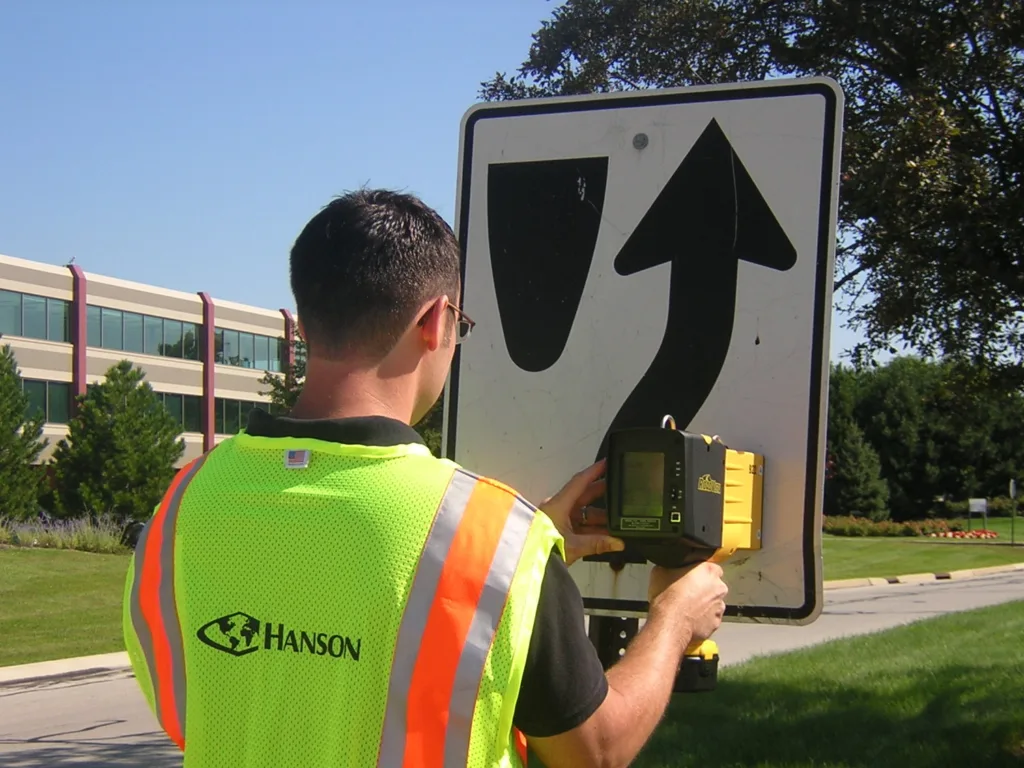

“As a project manager, I enjoy working with clients and our team members to develop programs and projects from the problems and challenges that they face.”

“I am inspired by the opportunity to turn concepts into reality and to work alongside a team that values progress and collaboration. At Hanson, I appreciate the diverse experience and the supportive environment that drive our collective success. I love leveraging my passion for geospatial services and technologies to enhance our projects and deliver exceptional results.”
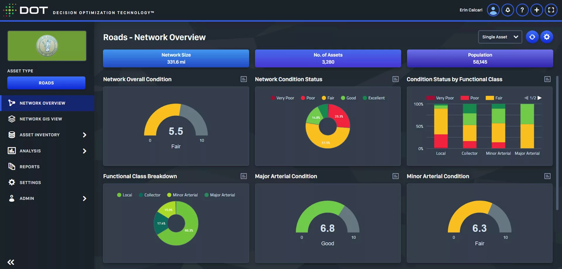
Learn more about data collection, the first step of the asset management process. Our skilled specialists use drones, various types of condition assessments and innovative surveying techniques to gather the information you need to effectively manage your assets.

With smart-city infrastructure, your community can plan for a more connected, efficient and environmentally sound future. Find out more about the technology we can employ to help you start making the informed, data-driven decisions that will position your city for a vibrant tomorrow.