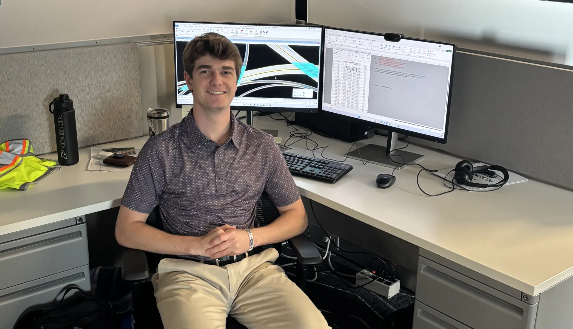
“As a project manager, I enjoy working with clients and our team members to develop programs and projects from the problems and challenges that they face.”
Matt Schrader

We have the technology, training and experience to support your project through the power of data. No matter the type of project — a bridge, an intermodal facility or capacity improvements — our team has the hands-on experience to help you accomplish your goals. Our surveyors use current surveying technology, such as robotic total stations, vehicle-based geospatial imaging, drones, laser scanning and virtual reference station-enabled global positioning. These resources allow us to communicate in real time between the field and our office, efficiently and effectively processing your information. Learn more about our surveying services.
 Drone services
Our drone team works in collaboration with our geospatial team to provide unmanned aerial services for modeling, inspection and photogrammetric products. We have provided these services for agricultural, asset management, governmental, geospatial, construction, disaster response and environmental projects. Our team is Federal Aviation Administration (FAA) certified as Part 107 with remote pilot certifications.
From facilities and pavement to bridges and utility systems, assessing the condition of your assets is a critical first step to extending their lifespan.
Our team has extensive experience in conducting facility condition assessments (FCA) for mechanical and electrical equipment, including visual surveys of cooling towers, air-handling units, hydronic pumps, boilers, chillers, split-system and packaged heat pumps, exhaust fans, variable-air-volume boxes, series and parallel fan terminal boxes and mini-split systems. We provide you with comprehensive data on each piece of equipment and estimate replacement costs based on our estimate of its remaining life. With this data, you can plan for the future of your facility. Our specialists have performed FCAs for numerous clients, including Seminole County Public Schools and Orange County Public Schools, both in Florida, as well as Seminole County government and the University of Central Florida.

We have performed FCAs for a variety of federal clients for more than two decades. We bring extensive experience in BUILDER assessments for the Department of Defense (DoD) and other federal agencies, having completed work in all 50 states and U.S. territories, as well as multiple overseas locations, on more than 20 million square feet of assets. Using a systematic, engineering-based approach to collect and assess the condition of an array of facility types, we understand how the collected data integrate into the BUILDER application and work to improve reporting outcomes.
Our facilities team also works with the Naval Facilities Engineering Systems Command to perform FCAs that integrate with the U.S. Navy’s MAXIMO asset management application. Our work spans multiple countries and the U.S. and focuses on key building systems, including site, structure, envelope, fire protection, mechanical, electrical, plumbing and roofing systems. The integration of our field-collected data with the MAXIMO platform allows for seamless asset management planning and improved spending of often-limited, facility-focused dollars.
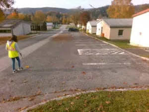
To extend the life of your pavement, our team also brings extensive experience managing complex pavement condition index (PCI) assessments. Our PAVER-certified specialists use ArcGIS Pro for new implementations and seamless updates to pavement shapefiles, providing you with accurate, real-time data integration. We have the skills, experience and adaptability to handle diverse environments and project scales. High-profile clients, such as the U.S. Army Corps of Engineers and the U.S. Air National Guard, have trusted us to conduct comprehensive PCI assessments at U.S. and international military bases, where precision, efficiency and traffic coordination are critical.
Additionally, we specialize in bridge and stormwater assessments encompassing a range of bridge types and sizes, including roadway and railway bridges, as well as culverts and other drainage structures. We will perform your bridge assessment to meet the American Association of State Highway and Transportation Officials Maintenance Manual for Roadways and Bridges and National Bridge Inspection Standards. Our experience includes evaluating structural and functional conditions, identifying existing and developing deficiencies compared to initial or previous assessments and developing repair recommendation and estimated costs.
contact us
Surveying is an essential first step for many projects. Our experienced surveyors use current technology, such as robotic total stations, drones, 3D laser scanning and virtual reference station-enabled global positioning technologies, allowing us to communicate with you in real time between field and office as we collect information critical to your planning. Find out more.
Our drone team works in collaboration with our geospatial team to provide unmanned aerial services for modeling, inspection and photogrammetric products. We have provided these services for agricultural, asset management, governmental, geospatial, construction, disaster response and environmental projects. Our team is Federal Aviation Administration (FAA) certified as Part 107 with remote pilot certifications.
From facilities and pavement to bridges and utility systems, assessing the condition of your assets is a critical first step to extending their lifespan.
Our team has extensive experience in conducting facility condition assessments (FCA) for mechanical and electrical equipment, including visual surveys of cooling towers, air-handling units, hydronic pumps, boilers, chillers, split-system and packaged heat pumps, exhaust fans, variable-air-volume boxes, series and parallel fan terminal boxes and mini-split systems. We provide you with comprehensive data on each piece of equipment and estimate replacement costs based on our estimate of its remaining life. With this data, you can plan for the future of your facility. Our specialists have performed FCAs for numerous clients, including Seminole County Public Schools and Orange County Public Schools, both in Florida, as well as Seminole County government and the University of Central Florida.
We have performed federal facility condition assessments (FCAs) for a variety of federal clients for more than two decades. We bring extensive experience in BUILDER assessments for the Department of Defense (DoD) and other federal agencies, having completed work in all 50 states and U.S. territories, as well as multiple overseas locations, on more than 20 million square feet of assets. Using a systematic, engineering-based approach to collect and assess the condition of an array of facility types, we understand how the collected data integrate into the BUILDER application and work to improve reporting outcomes.
Our facilities team also works with the Naval Facilities Engineering Systems Command to perform FCAs that integrate with the U.S. Navy’s MAXIMO asset management application. Our work spans multiple countries and the U.S. and focuses on key building systems, including site, structure, envelope, fire protection, mechanical, electrical, plumbing and roofing systems. The integration of our field-collected data with the MAXIMO platform allows for seamless asset management planning and improved spending of often-limited, facility-focused dollars.
To extend the life of your pavement, our team also brings extensive experience managing complex pavement condition index (PCI) assessments. Our PAVER-certified specialists use ArcGIS Pro for new implementations and seamless updates to pavement shapefiles, providing you with accurate, real-time data integration. We have the skills, experience and adaptability to handle diverse environments and project scales. High-profile clients, such as the U.S. Army Corps of Engineers and the U.S. Air National Guard, have trusted us to conduct comprehensive PCI assessments at U.S. and international military bases, where precision, efficiency and traffic coordination are critical.
Additionally, we specialize in bridge and stormwater assessments encompassing a range of bridge types and sizes, including roadway and railway bridges, as well as culverts and other drainage structures. We will perform your bridge assessment to meet the American Association of State Highway and Transportation Officials Maintenance Manual for Roadways and Bridges and National Bridge Inspection Standards. Our experience includes evaluating structural and functional conditions, identifying existing and developing deficiencies compared to initial or previous assessments and developing repair recommendation and estimated costs.
Hanson views data collection as the foundation of effective asset management. By gathering accurate information about infrastructure and facilities, Hanson helps clients make informed decisions, improve productivity and better plan for future maintenance and capital investments.
Hanson uses advanced technologies including robotic total stations, vehicle-based geospatial imaging, drones, laser scanning and virtual reference station-enabled GPS. These tools allow Hanson to efficiently collect, process and share accurate project data between the field and office in real time.
Hanson’s drone team works alongside its geospatial specialists to provide unmanned aerial services for modeling, inspections and photogrammetric deliverables. Hanson has applied these services across asset management, government, construction, environmental, agricultural and disaster response projects.
Hanson performs condition assessments for a wide range of assets, including facilities, pavements, bridges and utility systems. Hanson evaluates asset condition, collects detailed equipment data and provides estimated replacement timelines and costs to help clients plan for future needs and investments.
Hanson helps clients reduce maintenance and operational challenges by collecting detailed asset condition data and evaluating remaining asset life. Hanson uses this information to support proactive maintenance planning, budgeting and replacement strategies that help extend asset life and improve long-term operational performance.
“As a project manager, I enjoy working with clients and our team members to develop programs and projects from the problems and challenges that they face.”

“I am inspired by the opportunity to turn concepts into reality and to work alongside a team that values progress and collaboration. At Hanson, I appreciate the diverse experience and the supportive environment that drive our collective success. I love leveraging my passion for geospatial services and technologies to enhance our projects and deliver exceptional results.”
Establish the starting point of your next project with our innovative surveying tools and techniques.
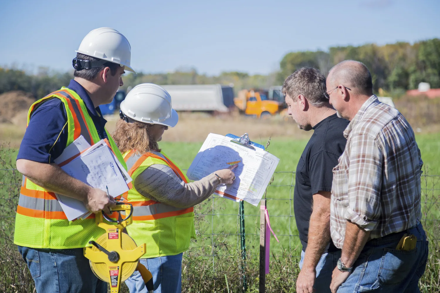

We are also your source for a wide variety of roadway, bridge, facility, water and wastewater and asset management services.
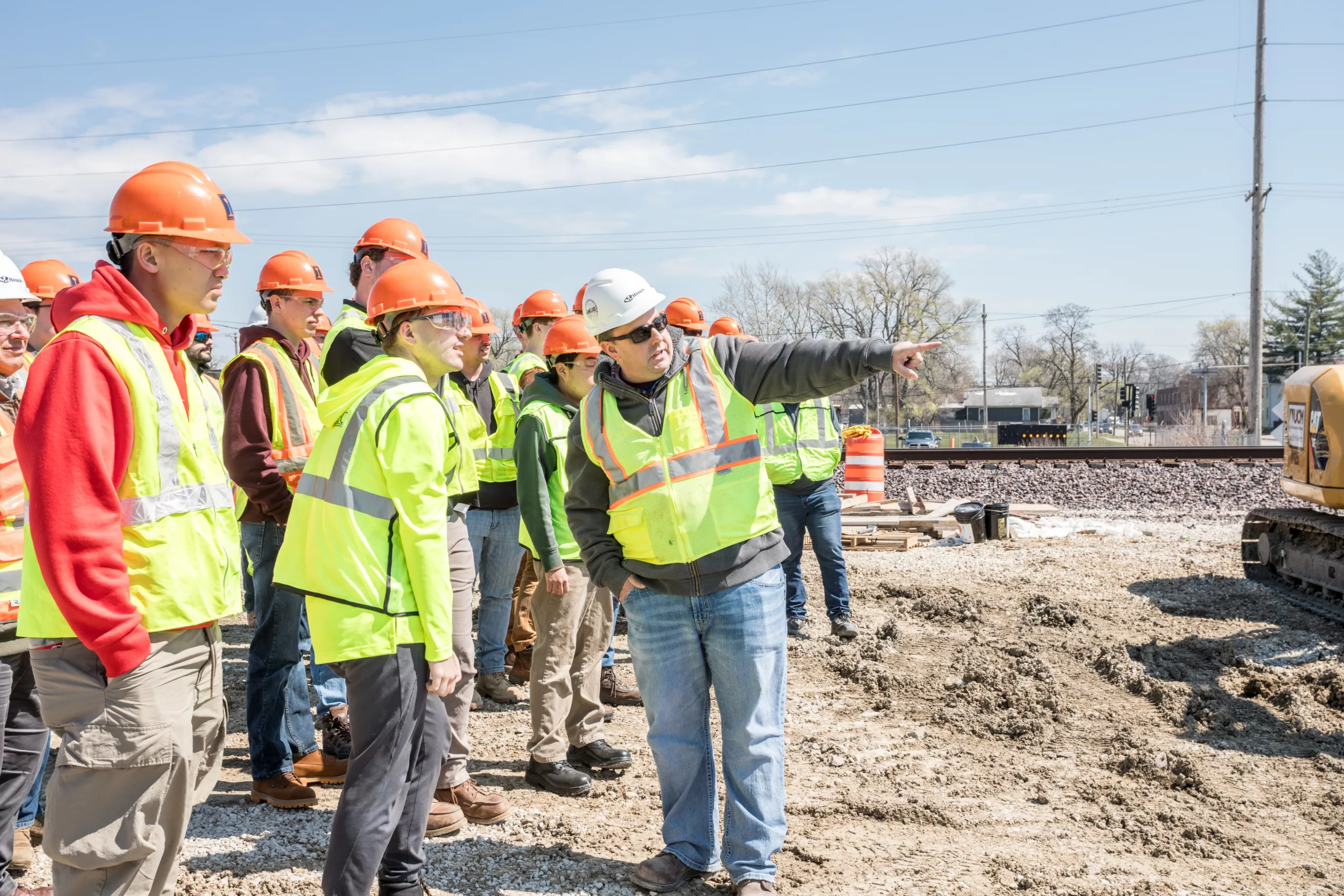
Hanson’s commitment to our clients reflects our allegiance to our most valued asset — our employee-owners. We invest in you. Find out how you can forge your path with us.