“As a project manager, I enjoy working with clients and our team members to develop programs and projects from the problems and challenges that they face.”
Geospatial and data tools
Smart cities and digital twins
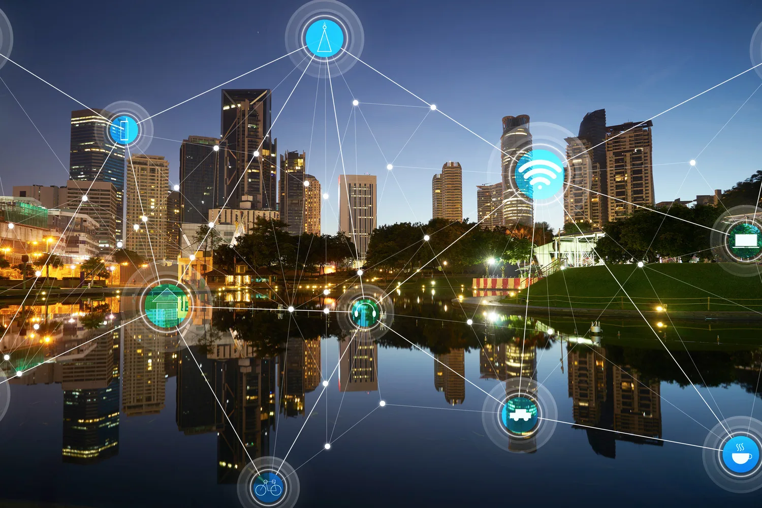
A smart city is an urban community that uses advanced technology and data-driven solutions to enhance sustainability, streamline city management and improve the quality of life for its residents. By integrating internet-connected devices, sensors and real-time data analytics, your smart city can optimize resources, reduce waste and improve services such as transportation, healthcare, energy usage and public safety. With this innovation, you can be more efficient, environmentally friendly and responsive to the needs of your citizens, which makes everyday life more convenient, sustainable and connected. In a smart city, technology serves as a powerful tool to create a more livable and future-ready urban environment.
A digital twin is a virtual representation of a physical object, system or environment, created using real-time data, sensors and advanced simulation technology. This digital model mirrors the characteristics, behaviors and performance of its real-world counterpart, allowing continuous monitoring and analysis. By integrating data from various sources, a digital twin enables you to visualize and predict processes, improve decision-making and identify potential issues before they arise. Whether used in smart cities, industrial applications or urban planning, digital twins provide valuable insights that drive efficiency, innovation and sustainability, keeping you ahead of challenges and helping you make informed, data-driven decisions.
GIS
A GIS system allows you to store and maintain engineering drawings, maps and other data in one comprehensive data source. From aerial photography, utility locations and zoning maps to survey data, facility dimensions and floodplain delineations, your data can range greatly from project to project. We design systems — developing and maintaining them with base map applications — to organize information and provide a framework for gathering, storing and managing information in the future.
AI
Using artificial intelligence (AI) technology in geospatial and data tools transforms how organizations collect, analyze and interpret spatial information. By integrating AI with advanced geospatial technologies, we enable you to make more accurate, data-driven decisions with enhanced predictive capabilities. AI-powered geospatial tools can process vast amounts of spatial data, identifying patterns, improving routes and forecasting trends, all in real time. Whether it’s upgrading your asset management, urban planning, environmental monitoring or logistics, AI enhances the efficiency and precision of geospatial analyses, driving smarter decisions and unlocking new opportunities for innovation and growth. With AI, you can turn complex geospatial data into actionable insights, offering a competitive edge in our data-driven world.

We are also your source for a wide variety of roadway, bridge, facility, water and wastewater and asset management services.
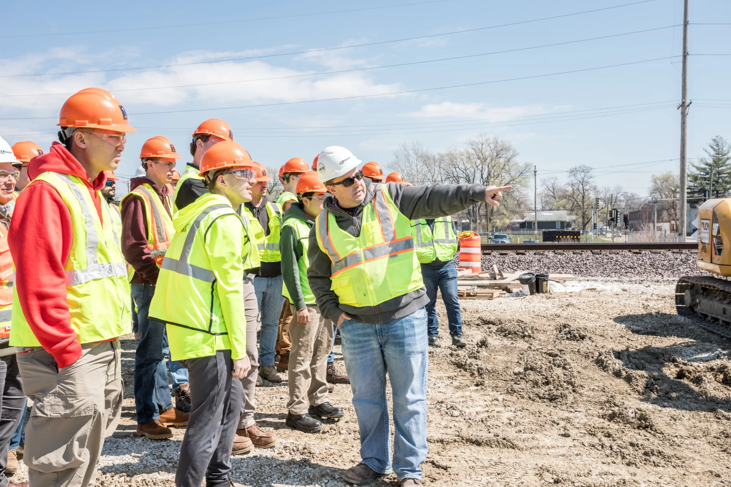
Hanson’s commitment to our clients reflects our allegiance to our most valued asset — our employee-owners. We invest in you. Find out how you can forge your path with us.
