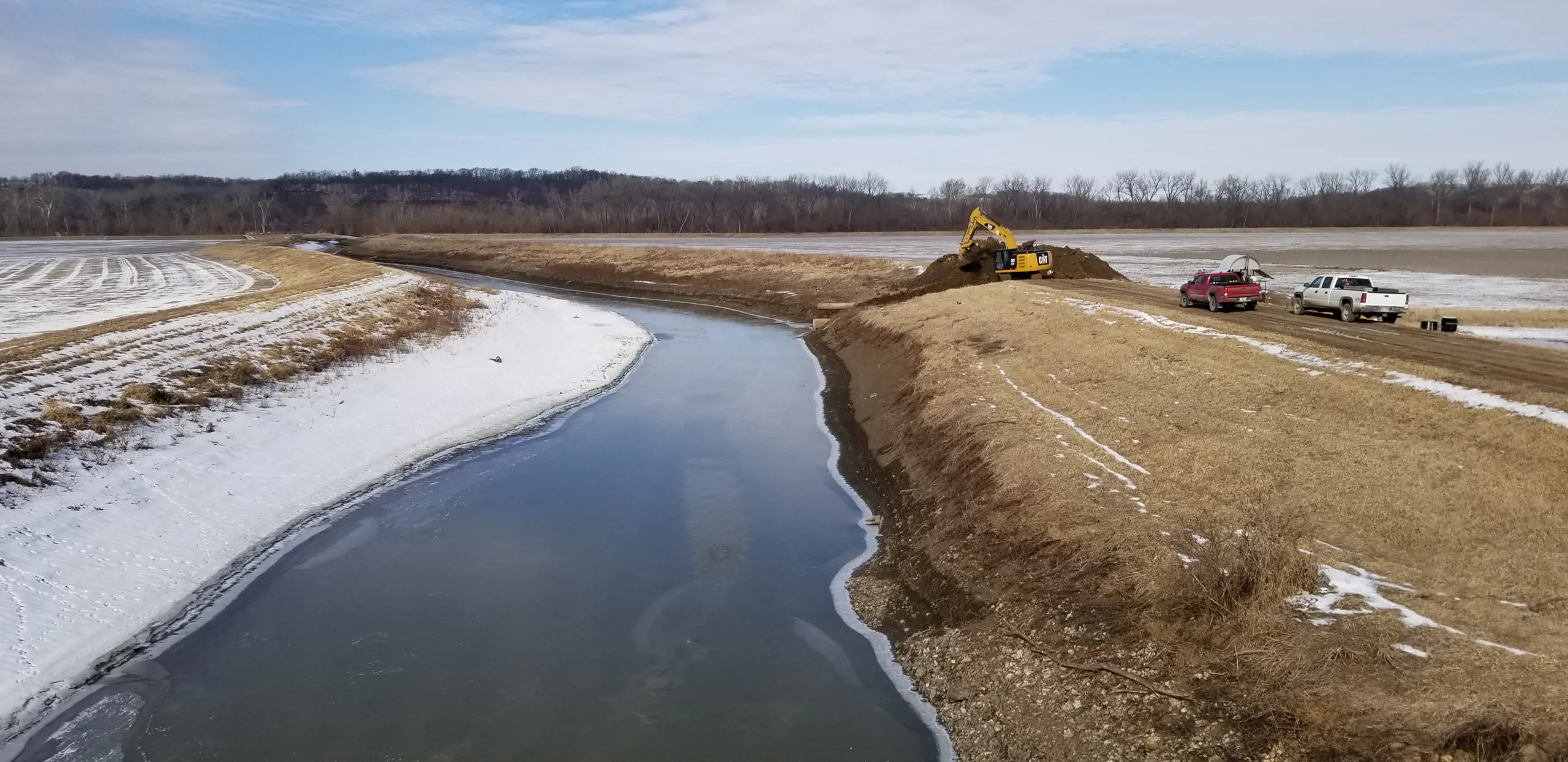
As part of a joint venture, Hanson conducted periodic inspection reviews for six levee systems within the U.S. Army Corps of Engineers (USACE) Kansas City District boundaries.
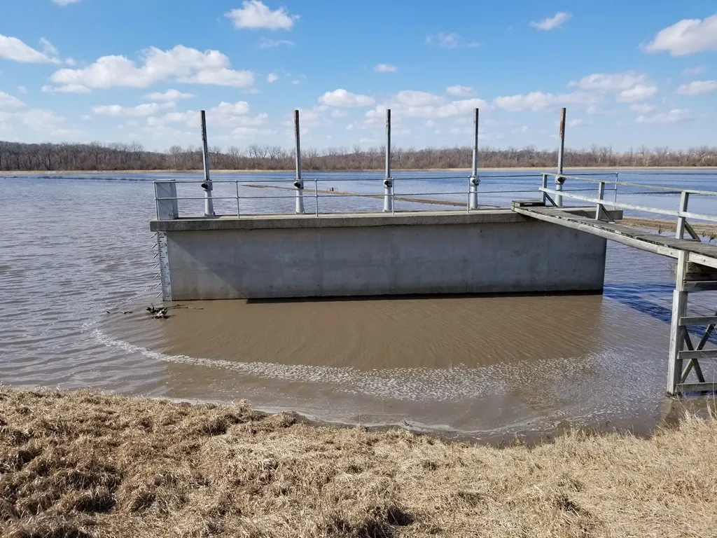
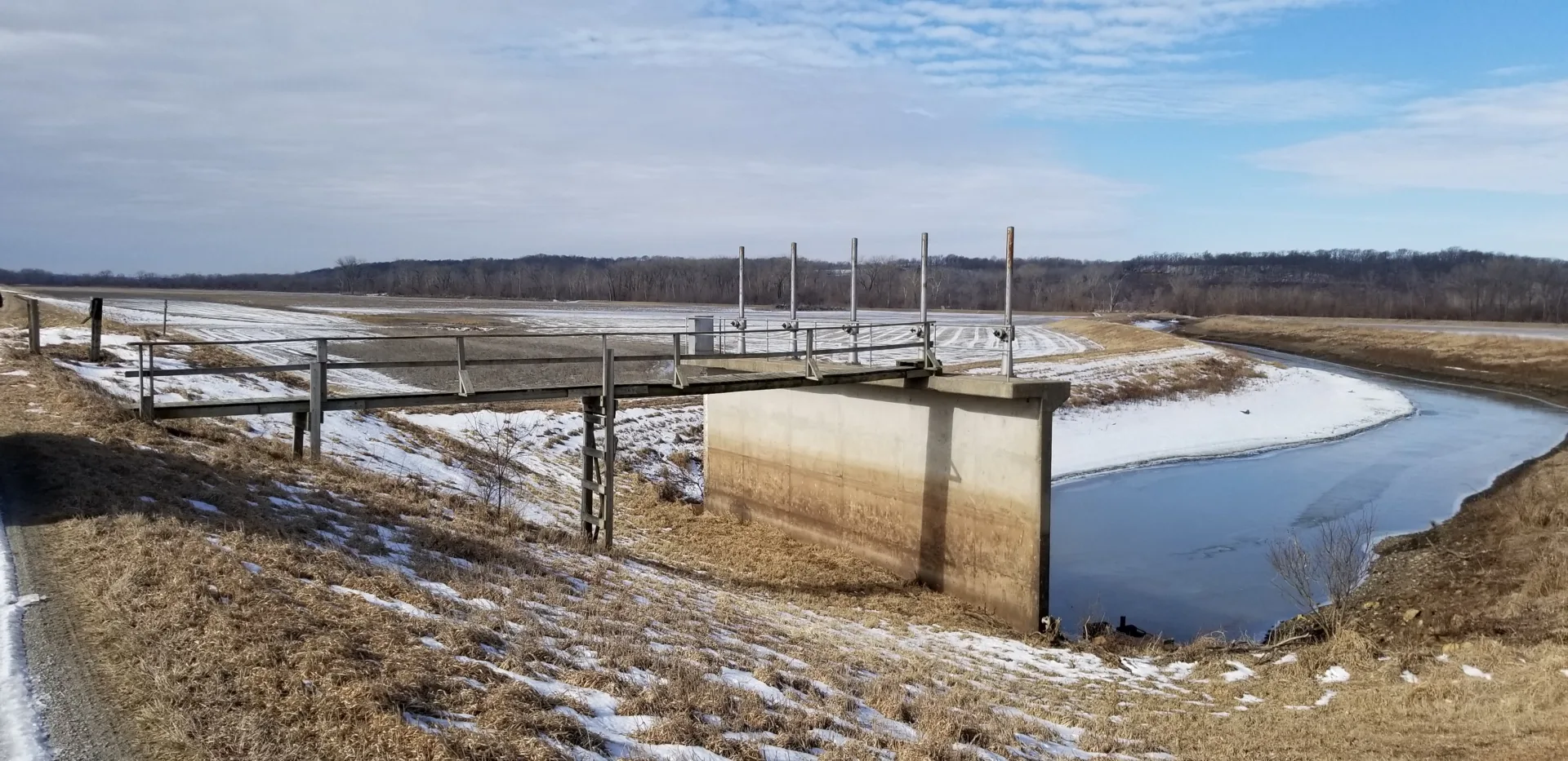
The purpose of the inspections was to verify proper operation and maintenance, evaluate operational adequacy and structural stability, review design criteria to identify changes in current design standards, identify features to monitor over time and improve the ability to communicate the overall condition of the levee to local and national oversight teams. The levee inspection teams inspected the levee embankment, floodwalls, interior drainage systems, closure structures, pump stations and flood damage reduction channels making up the levee systems.
Levee inspections
Hanson performed six levee system inspections totaling 35.2 miles of levee:
- Left- and right-bank systems (Ottawa, Kansas)
- unit left- and right-bank systems (Abilene, Kansas)
- Water Works Unit System (South Topeka, Kansas)
- MRLS 448‐443‐L system (near St. Joseph, Missouri)
- Soldier Creek Unit LB5 (near Leavenworth, Kansas)
- North Kansas City System (Missouri)
The inspected levees, which include nine pumping stations, 14 closure structures, 57 drainage structures and 1 mile of floodwall, protect a total of 23,535 acres of commercial, residential and agricultural land in Kansas and Missouri.
The levee inspection process included assembling a project plan encompassing a detailed project schedule, assigning project team leaders and conducting an initial in-brief meeting with local sponsors responsible for local maintenance of the levees to learn about updates and recent conditions.
USACE standards
Engineers well versed in USACE standards and levee design, along with specialists in civil, geotechnical, structural and hydraulic disciplines reviewed initial levee construction data, as‐built drawings and technical memoranda. They evaluated the original design criteria alongside existing design standards to confirm each feature, as well as the overall system, functioned as the levee system was originally intended. This process also alerted the inspection team to any potential levee updates needed to meet design criteria.
Engineers prepared a pre‐inspection technical packet to distribute to the inspection team that included the system’s features; their histories, operations and maintenance records; previous inspection records; and recent flooding events.
The team performed the field inspections with qualified professional engineers in civil, structural, mechanical and electrical specializations. During the inspections, the team used the National Levee Database Levee Inspection System (LIS) to document levee conditions during the on‐site inspections and generate levee inspection reports designed to meet USACE standards for content and format. The LIS system, a mobile application that provides tools for preparing for an inspection and collecting data in the field with Global Positioning System-enabled devices with Geographic Information Systems software, allows field inspectors to enter checklist data during the inspection and later finalize the checklists online.