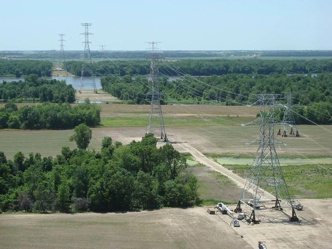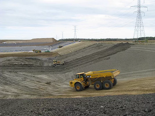
Hanson is supporting the development and approval of a special use permit (SUP) application for Moonshine Solar LLC, a proposed solar energy project in Clark County, Illinois.
Hanson provided comprehensive application preparation, coordination and submission to the Clark County Planning Commission and addressed comments and revisions throughout the review process. The project team also prepared detailed narratives and supporting documents, including a project description, compliance memos and supplemental exhibits. The materials demonstrated compliance with applicable local, state and federal regulations, enabling the project’s feasibility and alignment with community standards.
Read more about our clean energy services.
Hanson’s responsibilities included:
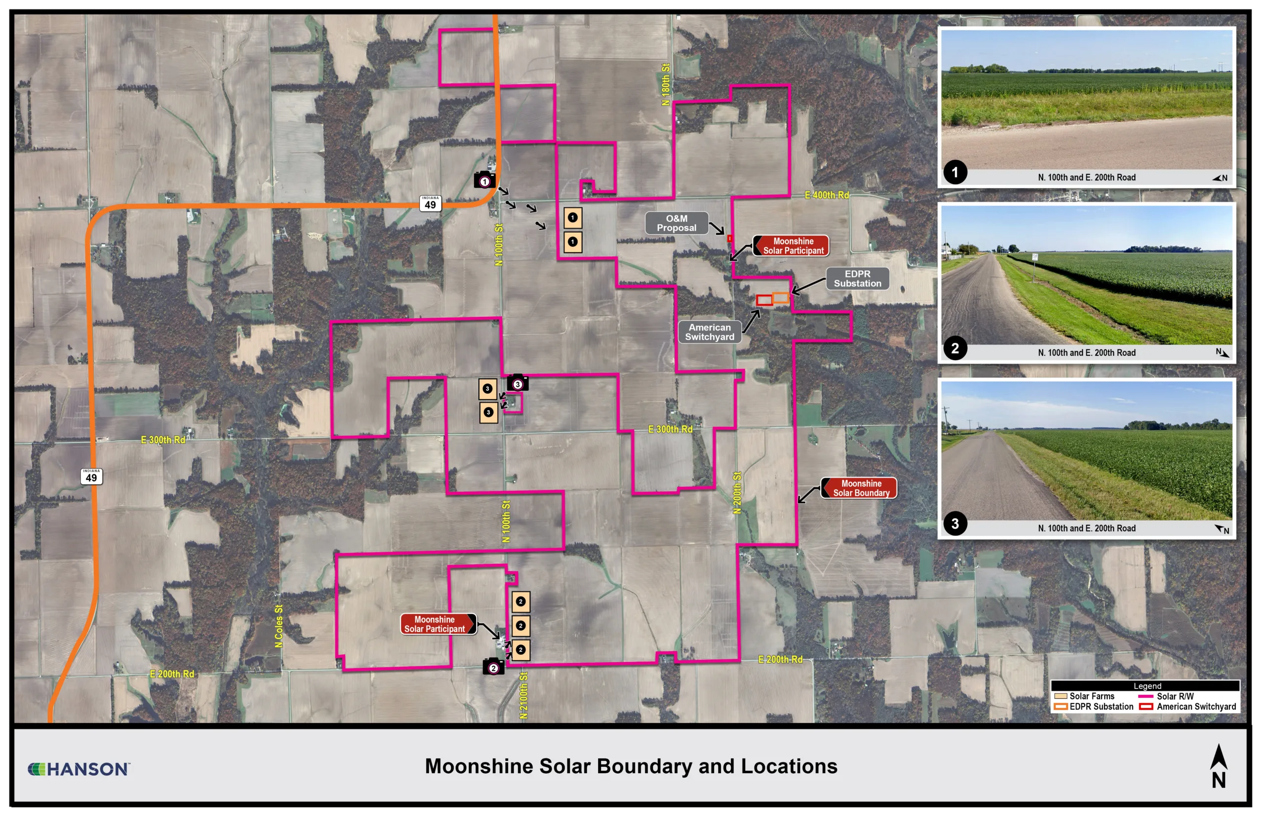
- Permit application and plans: preparation of the SUP application, including parcel data and compliance with Clark County’s Commercial Solar Energy Facility Siting Ordinance and development of preliminary and final permit plans incorporating solar array layouts, inverter locations, access roads and landscape designs
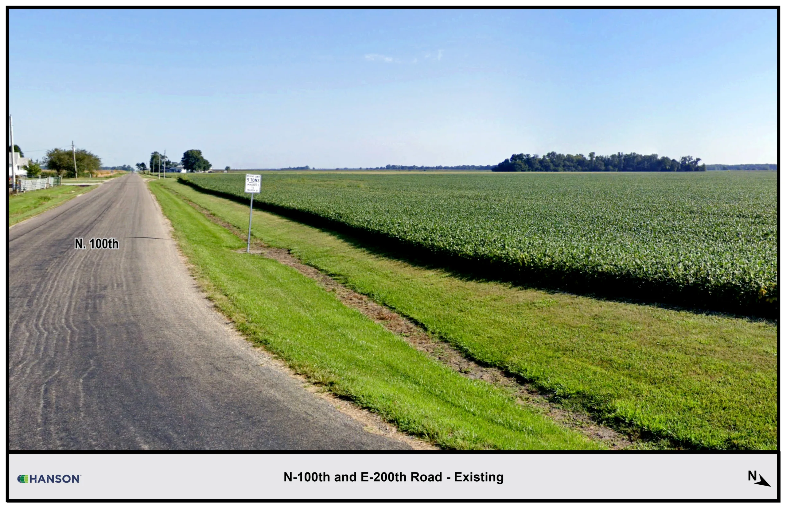
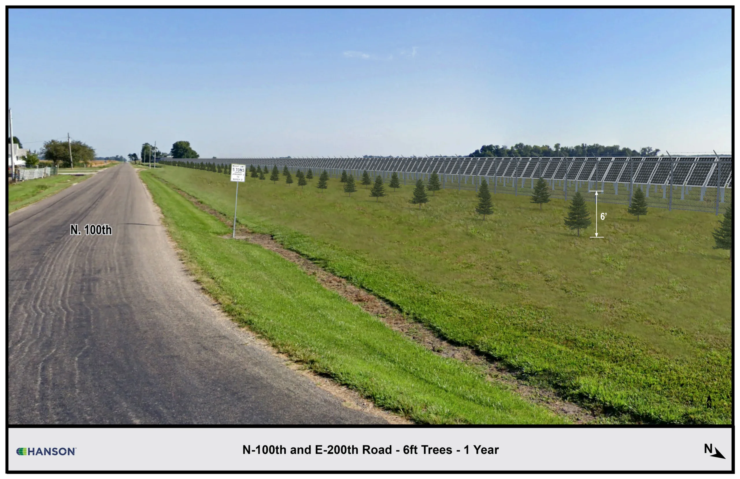
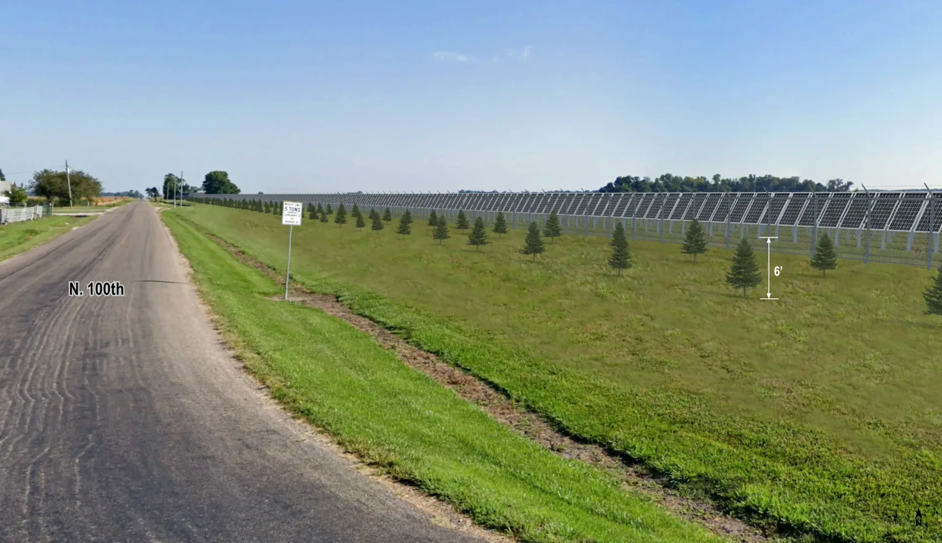
- Photorealistic simulations: creation of photorealistic renderings showing site conditions and projected views one and five years post-installation
- Decommissioning plan: preparation of a decommissioning plan in compliance with the Illinois Department of Agriculture’s Standard Solar Agricultural Impact Mitigation Agreement and Clark County ordinances, including cost estimates under the guidance of a licensed engineer
- Economic and environmental studies: integration of an economic impact study, property impact analysis, endangered species consultation and other studies into the SUP application
- Transportation and access planning: identification and mapping of construction haul routes, including road jurisdictions, weight limits and underpass clearances
- Noise and glare analysis: noise modeling to comply with Illinois Pollution Control Board regulations and glare analysis based on Federal Aviation Administration recommendation
- Field drain tile system investigation: desktop and aerial survey investigations to map subsurface drainage systems across the project site, using geographic information system and drone imagery
- Additional supporting documents: integration of recorded landowner agreements, structural engineering certifications and other required exhibits into the application