 |
If you’re interested in exploring how GIS can help support your community or government, reach out to Geospatial Discipline Manager Austin Willis, CSM, GISP, at jwillis@hanson-inc.com. |
In the evolving space of infrastructure and asset management, digital twins are redefining how we understand and interact with the world around us. These models go beyond static maps and exhibits — they are truly dynamic reflections of the real world, continuously updated with spatial data and consuming sensor data to mirror reality in near real time.
By integrating field-collected data, remote sensing and other data points, digital twins provide a framework for strategic decision-making and greater understanding. They allow stakeholders to visualize conditions, model scenarios and optimize operations with up-to-date data. Whether it’s monitoring pavement conditions, managing stormwater assets or planning developments, these digital models empower communities to see the unseen and act with data-supported confidence.
Read more about one of Hanson’s projects involving a digital twin, the Springfield (Illinois) Smart and Connected Downtown Plan.
What is the result, you might ask? An informed, more connected approach to living — where data isn’t just collected, it’s used for valuable insights — is the reward for embracing this technology.
What is a digital
twin?
Digital twins represent a technological leap in the strategic evolution of public infrastructure management and understanding. These digital replicas of physical realities (assets) — such as roads, power grids, water systems, recreational areas and buildings — enable agencies to observe, monitor and simulate real-world activities and conditions with spatial understanding and insight. By integrating geographic information systems (GIS) with real-time data and analysis tools, digital twins provide a dynamic understanding for decision-makers to evaluate asset performance, plan maintenance and prioritize investments considering on-ground realities.
GIS and digital twin technologies empower communities and governments to make informed decisions, optimize resource allocation and enhance community involvement and better service delivery. As communities develop and become more connected, the need for intelligent, dynamic asset management becomes increasingly important. To best position these organizations for long-term success, it’s essential to understand the building blocks that support effective development and implementation — from data collection and integration to visualization and analytics.
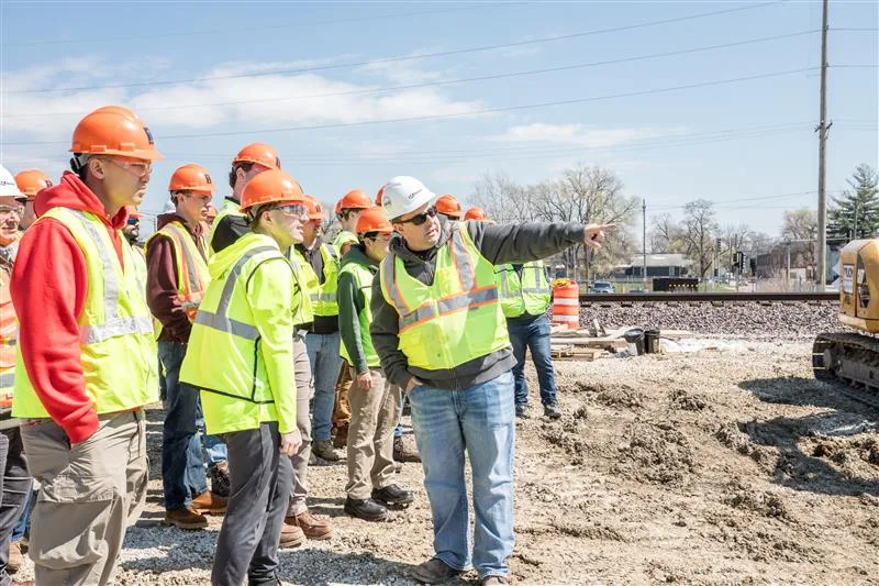
Data collection and information verification
Digital twins begin with various types of accurate, high-resolution data collection. This involves capturing spatial location and attributional data from field sensors, mobile devices, aerial imagery and complementary asset inventories. Some of the technologies used to accomplish this are:
- ground penetrating radar for underground utility capture and verification
- unmanned aircraft (or aerial) system and drone for above-ground lidar and imagery capture
- land survey (total station) for areas not easily collected otherwise
- mobile mapping for roadway and corridor collection
This foundational process makes sure that the digital twin reflects the physical environment with a great deal of accuracy, forming the foundation for reliable decision-making.
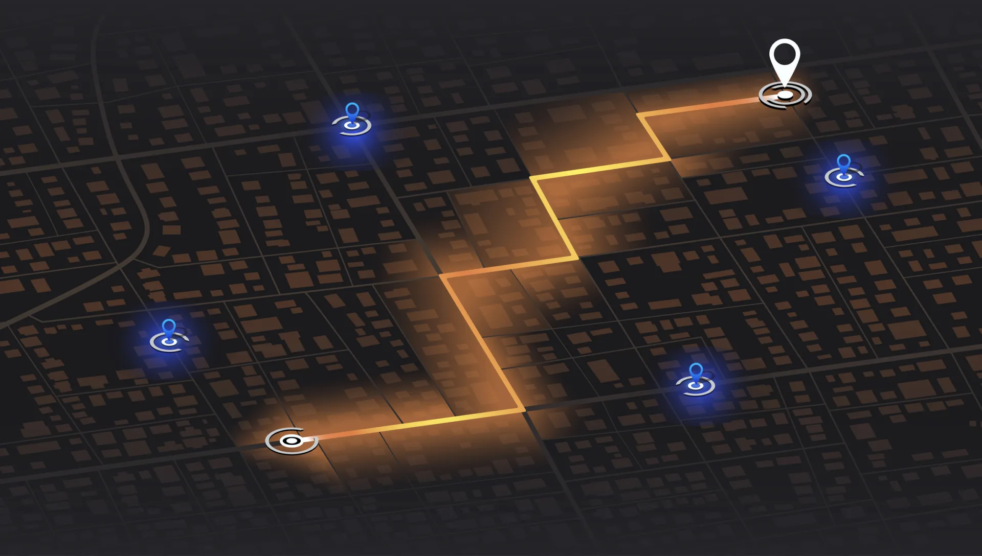
Data management and system integration
Once the data is collected, it must be organized, maintained and integrated across associated systems. GIS makes this easy by linking spatial data with asset registries, maintenance systems and other data sources. This allows GIS to:
- bring disparate data sources into focus
- provide order and structure to large datasets
- offer the ability to model a solid understanding of factors impacting a community
- group similar assets or features for targeted analysis
This next step in the process turns raw data into structured, accessible information that evolves with new inputs and supports a multitude of applications.
Analysis and understanding
With a well-integrated model, digital twins enable advanced analytics, visualization and understanding. GIS platforms can extract features from imagery, detect objects, segment like features and assess conditions to support:
- automated condition assessments of infrastructure
- real-time monitoring through drone or surveillance feeds
- identification of patterns and risks across large spatial datasets
- prioritization of maintenance or investment based on modeled insights
This is the culminating step that brings value by empowering planners, engineers and decision-makers to understand complex systems and act with confidence.
Core use cases
Community development and planning
Digital twins are changing the landscape in terms of how communities plan and grow. They allow for modeling on-ground realities that help support greater understanding. By creating spatially accurate models of future developments, planners can simulate the impact of a new environment on infrastructure, traffic and other systems. These models support:
-
- scenario testing for zoning and land use
- visualization of proposed housing and public spaces
- engagement with residents through interactive planning tools
This approach validates that development is inclusive, sustainable and aligned with long-term community goals.
Real-time system monitoring
Digital twins can provide real-time inputs and a spatial understanding of essential systems and environmental data points. These models integrate sensor data, weather services and infrastructure system networks to:
-
- understand the implications of natural disasters, such as floods or wildfires
- support evacuation planning and resource deployment
- enable a coordinated response across agencies
By understanding response scenarios and associated risks, communities can act faster ahead of disasters and recover more effectively.
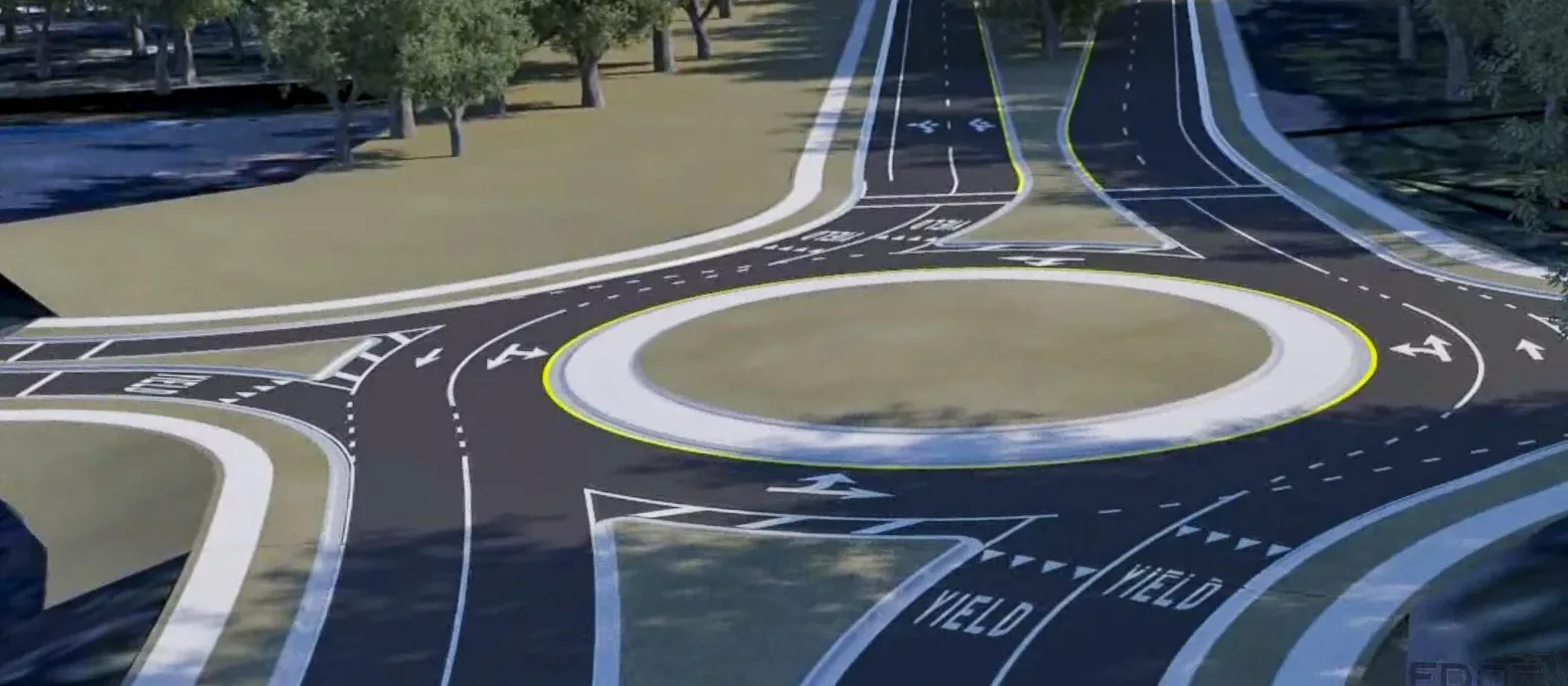
Transportation optimization
Digital twins help optimize transportation systems by modeling transit and transportation networks, traffic flow and peripheral infrastructure conditions. These models allow agencies to:
-
- predict route diversion implications
- model congestion and adjust routing dynamically
- coordinate public transit operations based on real-time data
- plan infrastructure investment upgrades based on condition and usage patterns
Digital twins are quickly becoming a foundational platform in modern asset management by creating dynamic, spatially aware models that reflect real-world infrastructure systems. Through the integration of geospatial data, sensor inputs and other operational records, these models allow organizations to design and manage assets with greater sustainability. This spatially integrated approach leads to more resilient systems and more efficient resource allocation across the asset lifecycle.