Drive the future of your community
The engineering behind roadway and intersection design are changing, and we can help you stay ahead of the curve.
What’s better than building a solid foundation of knowledge? Being able to use it to help you imagine and realize a successful, sustainable and smart future. Through our subject matter experts’ breadth of experience and study of the industries we serve, we lead you to creative and cutting-edge project approaches that fit your vision and circumstances.
Browse our blog posts for our insights on the trends in your industry, as well as the projects and people that form our mission of innovating for a better planet.


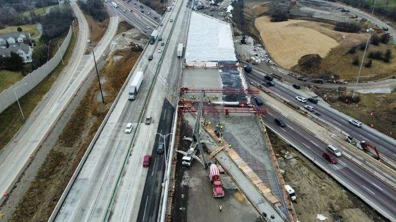
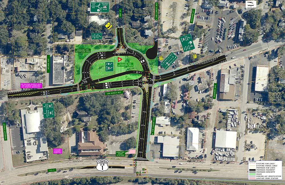
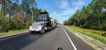

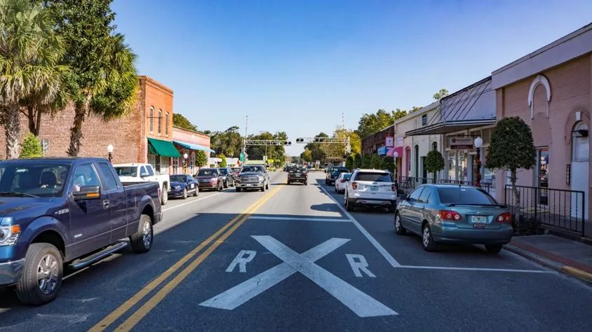
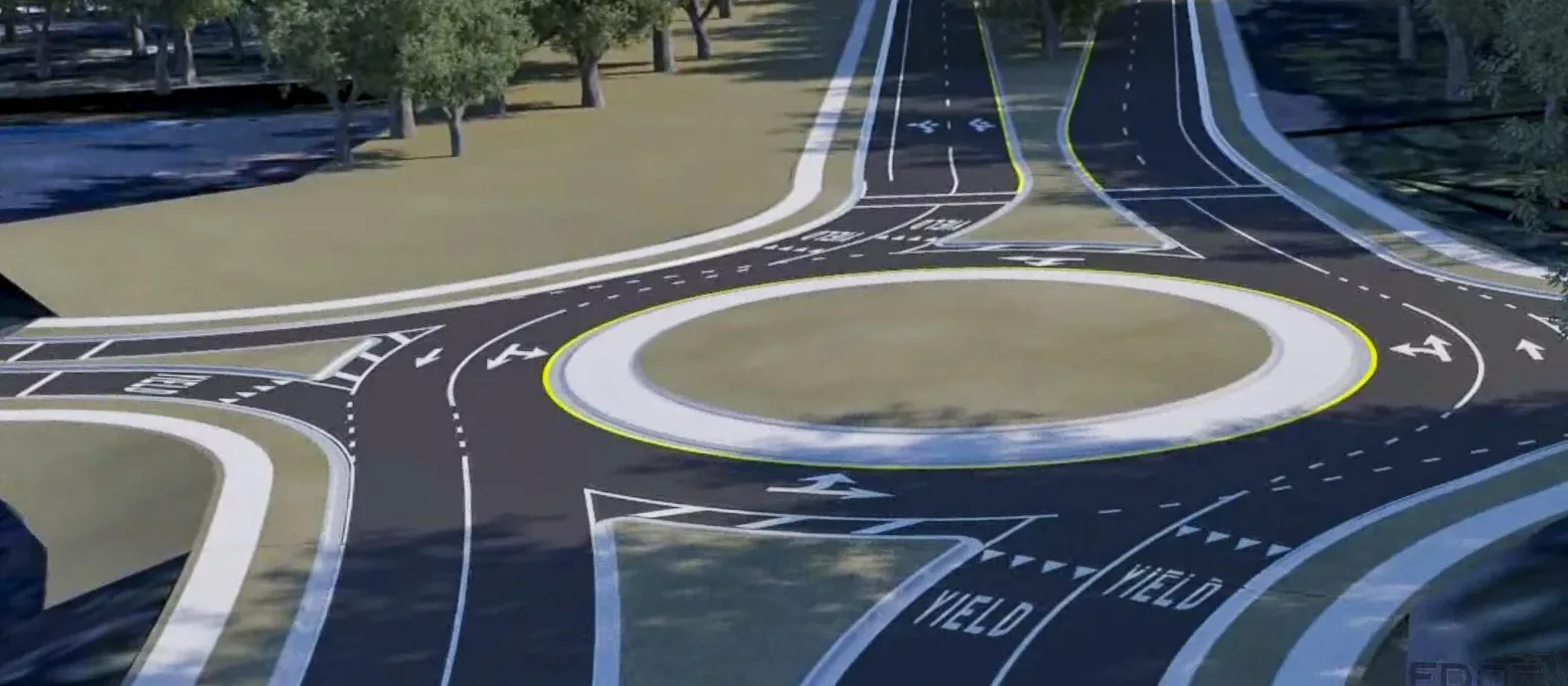
The engineering behind roadway and intersection design are changing, and we can help you stay ahead of the curve.
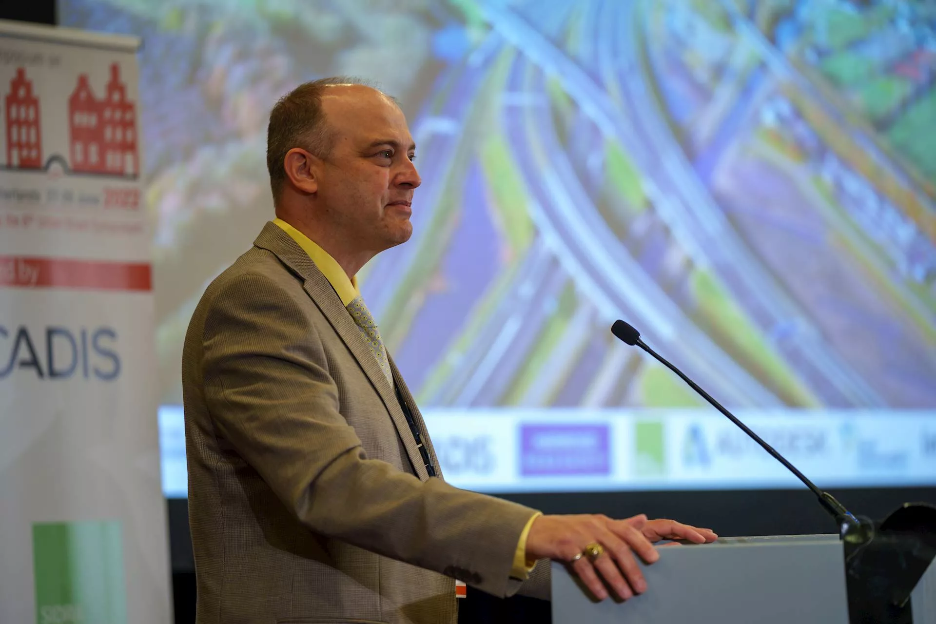
Come see us at a trade show or career fair near you! Whether you’re a potential client, teaming partner or interested in joining our team, our leaders and subject-matter experts are eager to share their varied backgrounds and knowledge to help you reach your goals.