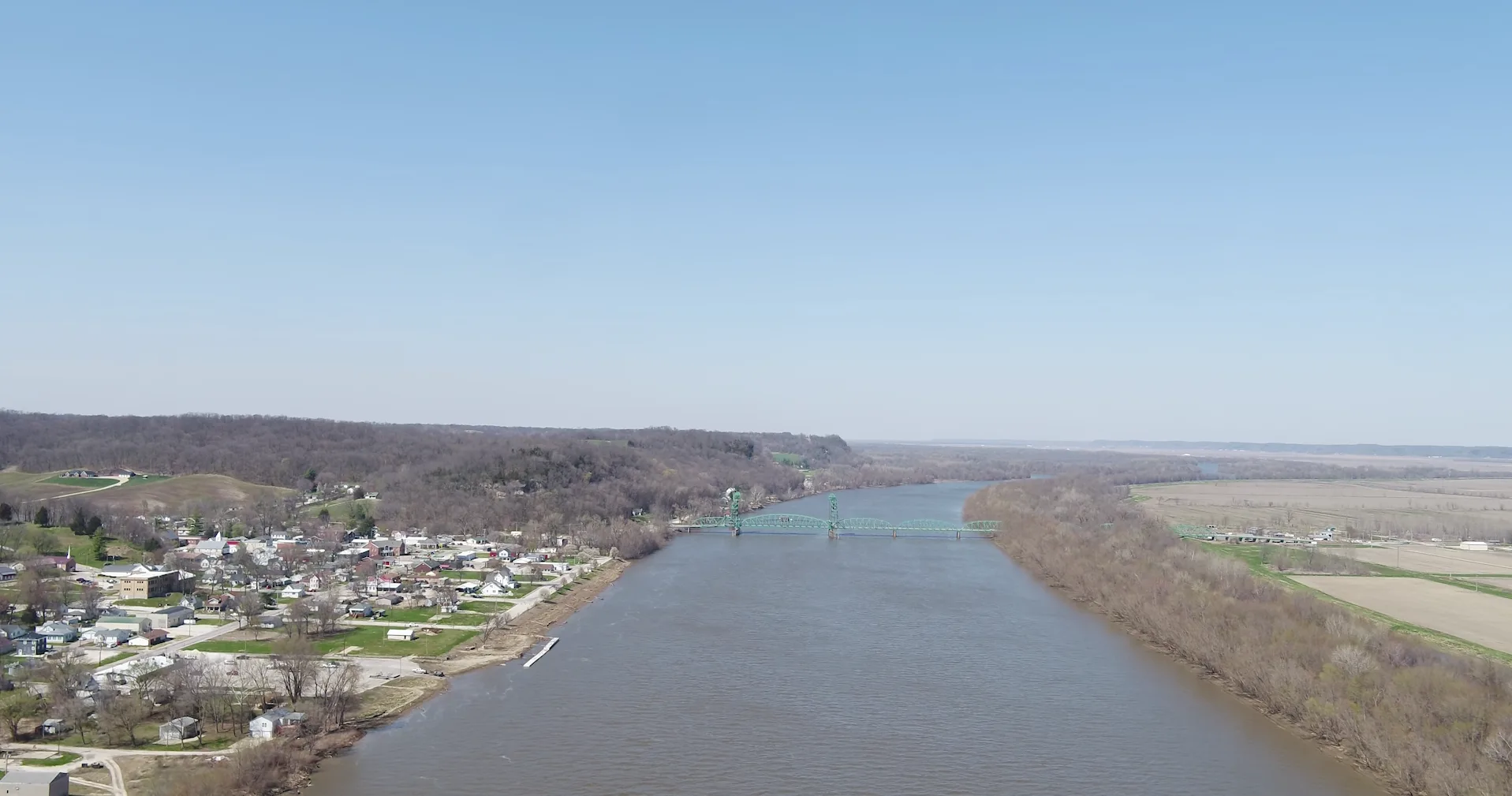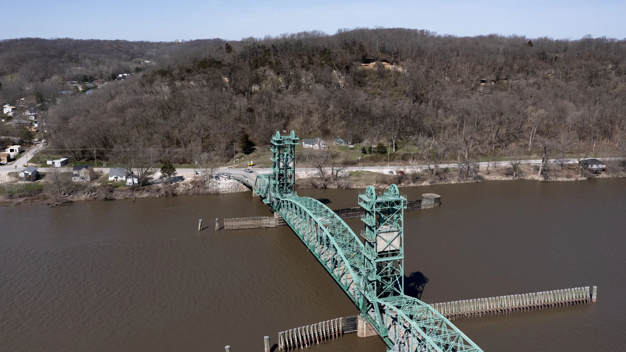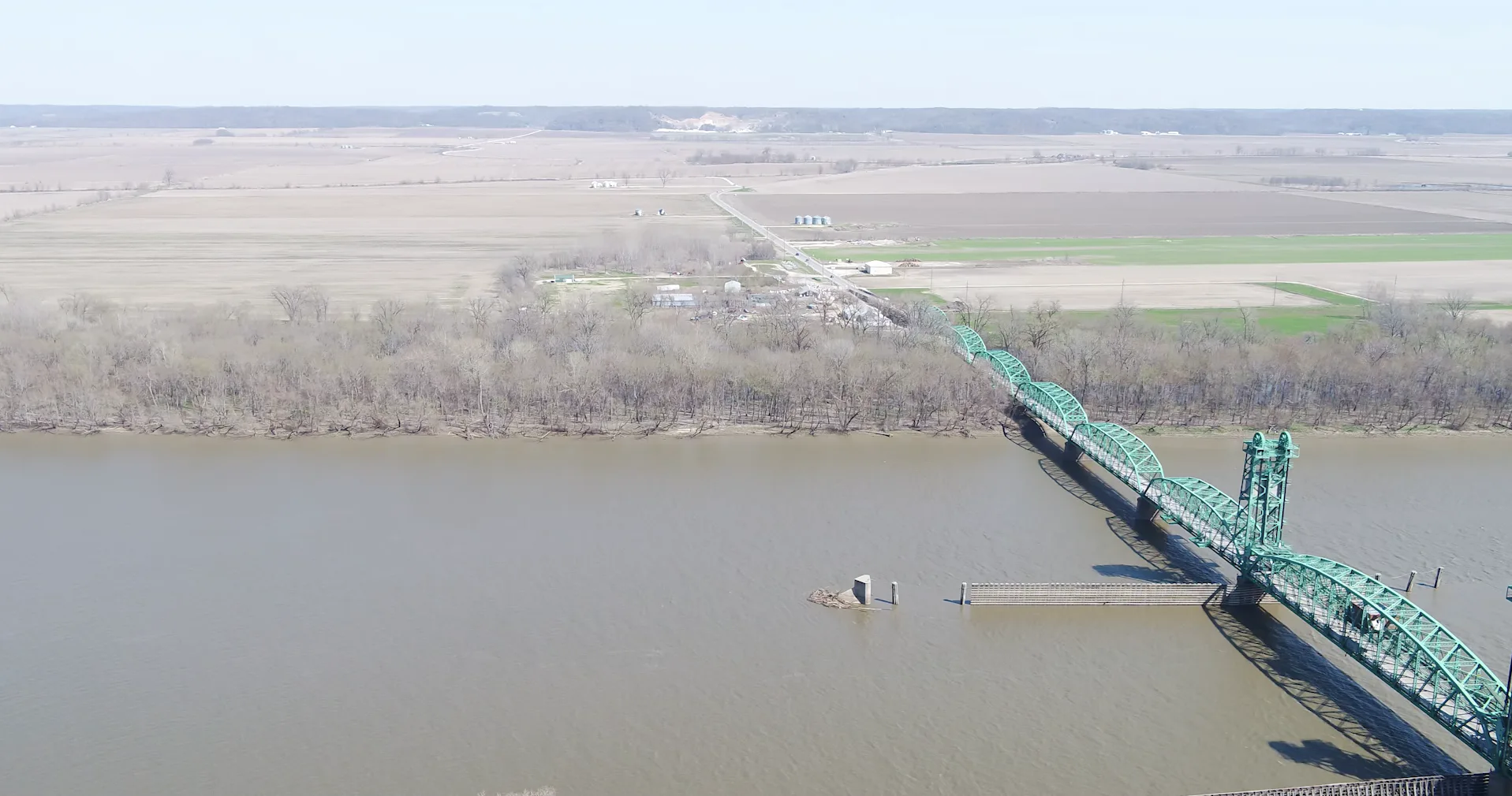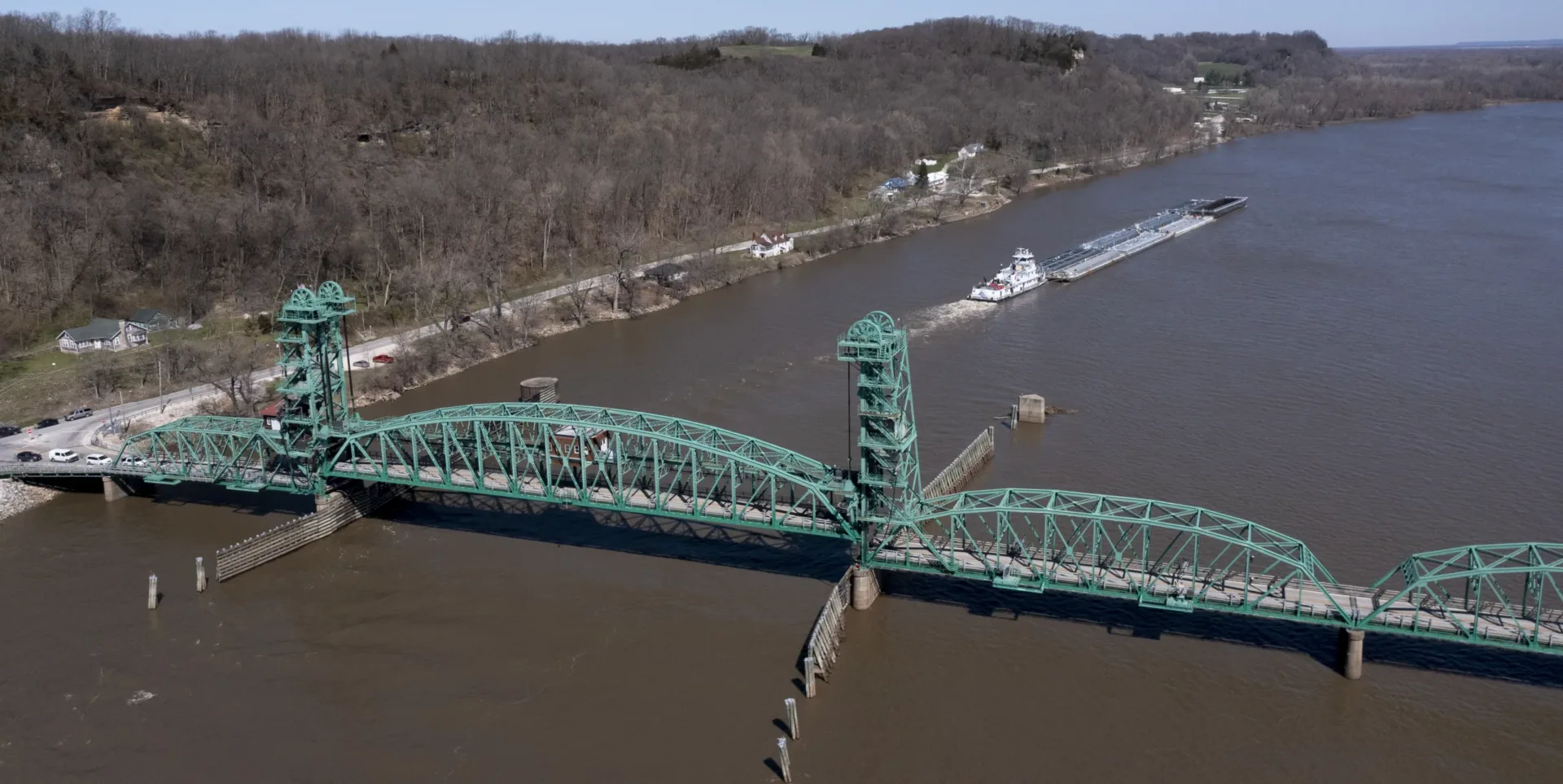
The Joe Page Bridge in Hardin, Illinois, was constructed in 1931. It carries Illinois routes 100 and 16 over the Illinois River and provides a vital link to Calhoun County, which is near the confluence of the Mississippi and Illinois rivers, just north of St. Louis. The steel vertical lift structure has served motorists for almost 100 years, with multiple repairs and significant rehabilitation work during that time.
In 2021, the Illinois Department of Transportation (IDOT) District 8 chose Hanson to provide Phase I engineering services to select a new bridge location. Hanson is leading the Phase I efforts for the analysis of alternatives over a large study area. The project is a high priority for IDOT because the bridge is reaching the end of its useful life. Substantial maintenance has been required to keep the bridge operational.
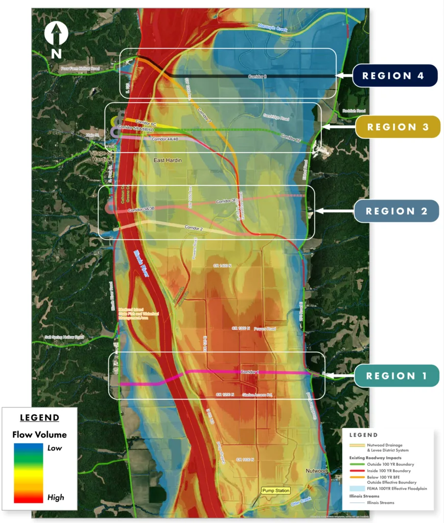
The project’s Phase 1 engineering services include:
- geometric studies
- environmental assessment
- land, route, topography survey
- hydraulic studies
- bridge inspections and reports
- coordination with government agencies
- significant public involvement activities
- crash analysis
- right-of-way information
- traffic management analysis
- preliminary staging plans
As part of the Phase I engineering, Hanson is leading all environmental permitting, including coordination with the Illinois Department of Natural Resources (IDNR) and U.S. Army Corps of Engineers (USACE).
Obstacles and solutions
The project team encountered unique challenges at the bridge location; the western side includes a bluff, a cemetery and limited space to tie into Illinois Route 100, while the eastern side is a low floodplain. Both sides contain multiple environmentally sensitive areas. A wide flow path just north of the bridge transitions into a bend farther north. The team is evaluating several corridors north and south of the structure to compare the benefits and challenges of each.
Working with the IDNR, USACE and the U.S. Coast Guard, Hanson is developing hydraulic models to evaluate the impacts of a new structure within the floodplain. Using 2D modeling software, Hanson will more precisely evaluate the impact of flood conditions on the existing and proposed study area roadway system during multiple flood frequencies in conjunction with advanced traffic point-destination modeling to predict adverse travel impacts. Hanson will provide a comparison of benefits and challenges among all the alternatives studied.
Public engagement
Hanson, working with the project team, organized public involvement activities throughout the Phase I study, sending early coordination letters to local, state and federal agencies, elected officials, schools, area residents and interest groups.
To guide the project development process and make recommendations, Hanson and the project team created a community advisory group (CAG). The project team gathered key project insights through multiple CAG meetings and presented information for review prior to hosting the public meetings.
The project was developed through the National Environmental Policy Act 404 merger process, which facilitates the input from regulatory and resource agencies at key project decision points. To date, the project’s purpose, need and the alternatives for further study have been approved.
Three public informational meetings have been held during the study, along with numerous individual stakeholder and study group meetings. Hanson will continue engaging the public throughout the remainder of the study process.