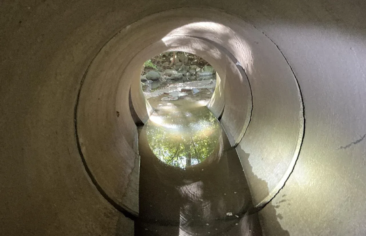
The city of Peoria, Illinois, is responsible for maintaining a network of bridges and culverts that are critical to public safety, mobility and stormwater conveyance. The city’s staff needed a way to address aging infrastructure, limited funding and increasing demands on staff resources while increasing awareness of asset conditions and prioritizing improvements.
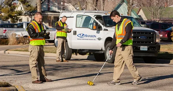
To address these challenges, the Hanson team implemented a geospatially enabled inspection and asset management workflow using ArcGIS Survey123 and ArcGIS Dashboards. Survey123 provided a standardized, mobile-first solution for collecting bridge and culvert inspection data directly in the field, allowing crews to document asset conditions, capture photographs, record deficiencies and submit information in real time.
ArcGIS Dashboards transformed this information into intuitive, real-time visualizations that enabled staff to monitor inspection progress, assess asset conditions, identify high-priority maintenance needs and support data-driven decision-making. The tools streamlined field operations, providing immediate access to manage critical bridge and culvert infrastructure.
Hanson completed the project under budget and ahead of schedule, and the resulting system has equipped the city with the tools needed to proactively maintain safe and reliable infrastructure for the future.