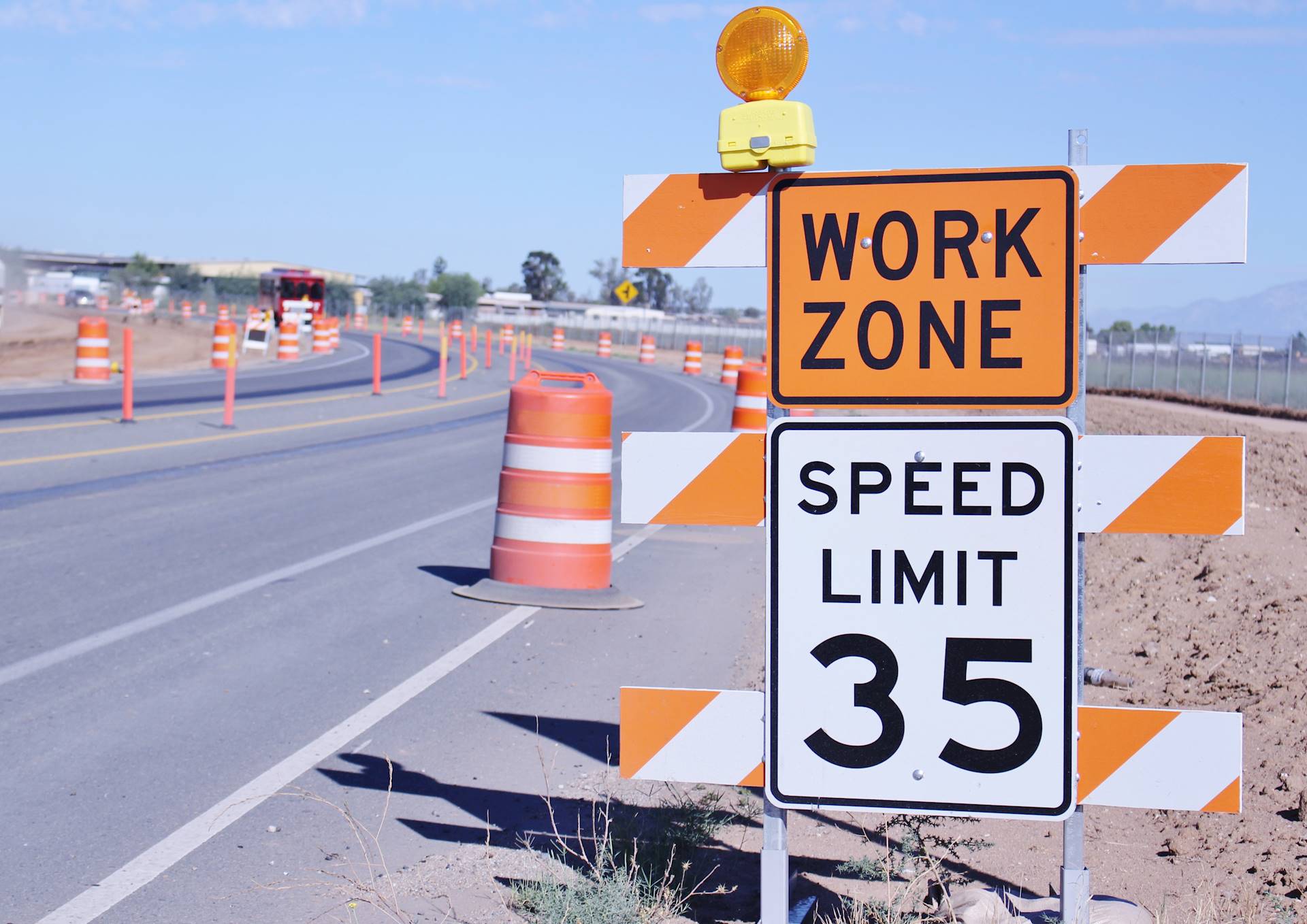
As engineers, we pay close attention to the design of the infrastructure we develop, but we may overlook what it takes for contractors and material to access the project during construction. In many instances, the construction access for a designated project location can have a great effect on overall project costs.
When developing construction access, the network of viable local roads that can be used as haul routes, the terrain that has to be navigated to reach the project, locations of the project laydown yards (if applicable), locations of major utilities and the routes that will be used for locally delivered material are major contributing factors in planning the access path. In areas around much of Illinois, the flatter terrain, along with predominately hard, paved roads, make these factors less formidable versus more remote, rolling terrain, such as parts of Missouri.
Once an initial concept for access has been decided, it must pass through what can be a labyrinth of road authorities and private landowners, depending on the size of the project. Road authorities have better insight into the conditions of roads and know about locations of underground items that are not indicated on available maps or drawings, such as 100-year-old drain tile, that may affect how to access a project area. Private landowners sometimes have preferred entrance locations or may also know about underground features, such as private septic systems, that should be avoided. Both entities can be great sources of information in developing a final access path.
At the point that a final construction access path has been finalized, it has taken collaboration from the entire project team, local agencies and the community to create the most efficient and cost-effective way to reach the project site. As they say, “Half the fun is just getting there!”
For more information about access roads for your project, contact Corey Dowd at cdowd@hanson-inc.com.