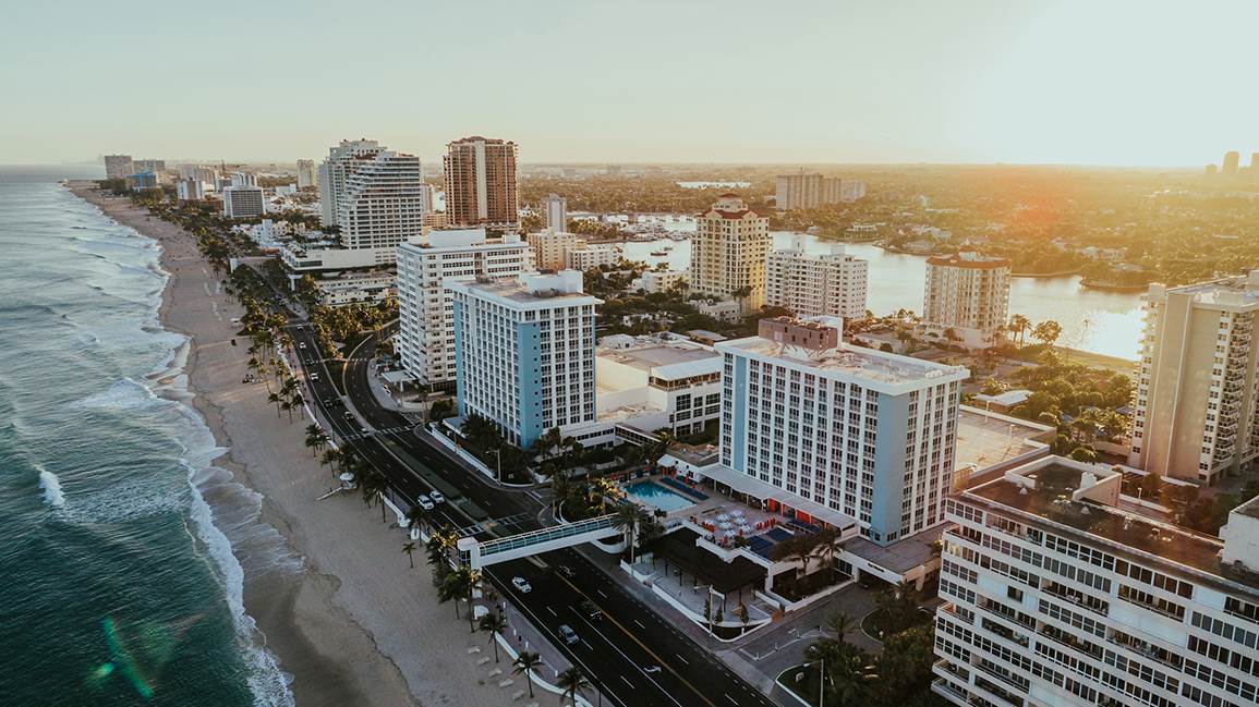
Effective July 1, 2021, Florida has a new law requiring a sea level impact projection (SLIP) study for state-financed construction within coastal areas. To help with the process, the Florida Department of Environmental Protection has developed a web-based tool for performing a SLIP study. There are three required elements to a SLIP study: estimated sea level rise, 1% flood inundation and risk to public safety.
This new law is a great first step toward resilient planning for future development along the coasts. Excerpts from and summaries of Florida Administrative Code Chapter 62S-7.012: SLIP Study Standards:
1. Show the amount of sea level rise expected over 50 years or the expected life of the structure, whichever is less. The amount of sea level rise expected must be calculated using the following criteria:
- National Oceanic and Atmospheric Administration (NOAA) Intermediate-High sea level rise scenario per the NOAA report, “Global and Regional Sea Level Rise Scenarios for the United States.”
- The local sea level rise at the project’s location must be interpolated between the two closest coastal tide gauges with NOAA sea level rise projections, per NOAA Tides and Currents’ “Sea Level Trends” website.
- Flood depth over the entirety of the project location out 50 years or the structure’s expected life, whichever is less, for the NOAA Intermediate-High sea level rise scenario, at a minimum.
- To the extent possible, the contribution of land subsidence to relative local sea level rise must be included. The land subsidence contribution is calculated by NOAA for each local tide gauge and is included in each of the NOAA sea level projections. This data (labeled VLM for Vertical Land Movement) is presented in the U.S. Army Corps of Engineers (USACE) sea level change calculator (Version 2019.21).
2. Show the amount of flooding, inundation, and wave action damage risk expected over 50 years or the expected life of the structure, whichever is less. The amount of flooding and wave damage expected must be calculated using the following criteria:
- Federal Emergency Management Agency (FEMA) storm surge water surface elevation for the 1% annual chance (100 year) flood event. Location-specific water surface elevations can be found within the SLIP tool or at the FEMA Flood Map Service Center.
- The FEMA 1% annual chance water surface elevation must be added to the sea level rise scenario, and then compared to the project’s critical elevations to assess flood risk. Critical elevations must be Finished First Floor Elevation (FFE), the Lowest Adjacent Grade (LAG) of the structure, or another critical design element which may be substantially damaged if flooded. Refer to the 2020 Florida Building Code, Section 1603.1.7, Flood Design Data, for assistance in defining the critical elevation.
- Depth-Damage Curves from the 2015 North Atlantic Coast Comprehensive Study, titled “Resilient Adaptation to Increasing Risk: Physical Depth Damage Function Summary Report” must be used to estimate the cost of future flood damage, for vertical construction only.
3. Show the risk to public safety and environmental impacts expected over 50 years or the expected life of the structure, whichever is less. The structural design risk must be calculated using the following criteria:
Hanson’s experience in Florida’s water resources and sea level rise flooding issues has us positioned to aid our clients on future SLIP-related projects.
Are you planning to build a state-funded project on a Florida coast? Talk to Brian Wozniak about this new law’s requirements and how it could affect your project at bwozniak@hanson-inc.com.